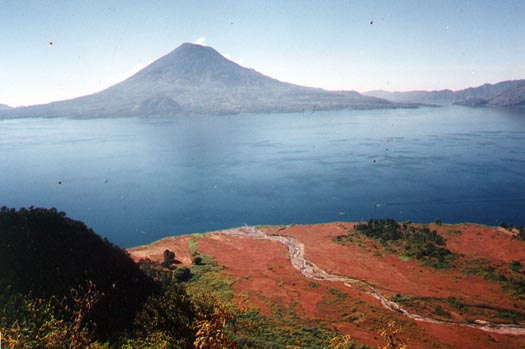
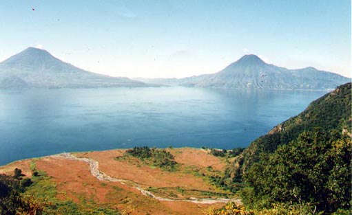
Lake
Atitlan is considered by many to be one of the most beautiful lakes
to be found anywhere. It is surrounded by volcanoes and precipitous
mountains. The three volcanoes that tower over the southern shore
are San Pedro, Tomilan, and Atitlan. Created by eruptions that
sealed off several river valleys thousands of years ago, its waters
today drain through underground seepage into rivers leading to the
Pacific. adapted from "Guatemala Guide by Paul
Glassman"
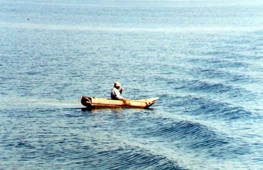
We may
seeIndigenas traveling the lake in cayucos, dugout
canoes with plank sides. Fishing is not an important activity for
those living on the shores of the lake, since fish are not a large
part of the natural diet.
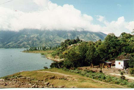
To continue our trip across lake
Atitlan to the Western Highlands-click here: GO