Our journey to the
western highlands will take us to the most densely inhabited part of
Guatemala, and the home of most of the Indian population. Stretching
from Guatemala City to the border of Mexico, we see the great
mountain peaks of the Sierra Madre and the Cuchumatanes range, and
temperate and near-tropical valleys. Guatemala's chain of volcanoes
run parallel to the Pacific, forming the southern rim of the
region.. Roads climb to frosty heights, drop down in a few
kilometers to plateaus planted with corn and wheat, and plunge into
narrow valleys, their sides, carpeted with trees, streams rushing
through at the bottom. Spotted here and there through the landscape
are clusters of whitewashed adobe houses with red tiled roofs,
little hamlets of people dressed all alike in traditional clothing.
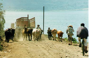
Cow-Truck Jam
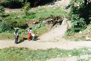
Laundry Day at the river
Santiago Atitlan
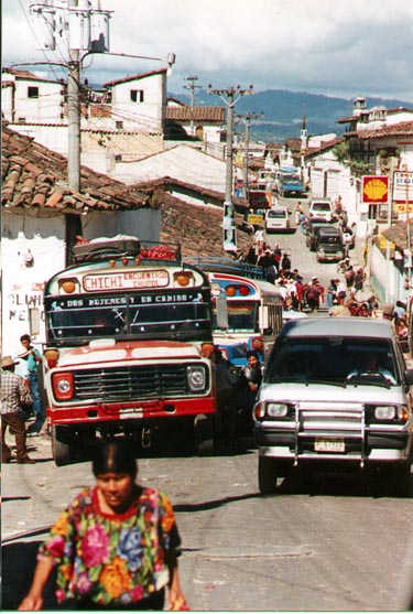
Chichicastenango
Years before the Conquest, the site of Chichicastenango was a
Cakchiquel settlement called Chaviar. The Cakchiquels moved their
capital to Iximch46 at the start of a period of war with the
Quiches, who lad their capital at Cumarcaj, or UtatUn, twenty
kilometers from Chaviar. When Alvarado and the Spanish laid waste to
Utatlin in 1524 refugees migrated to the area of the former
Cakchiquel town, which the Spanish, adopting the name given to the
place by their Mexican allies, called Chichicastenango, after the
greenish-yellow spiny plant that grows all over the area. The
Quiches called their settlement, and still call it, Siguin Tinarnit,
the town surrounded by canyons
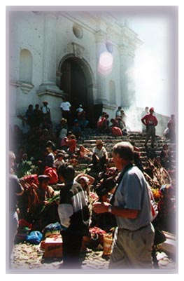 The Church of Santo
Tomas
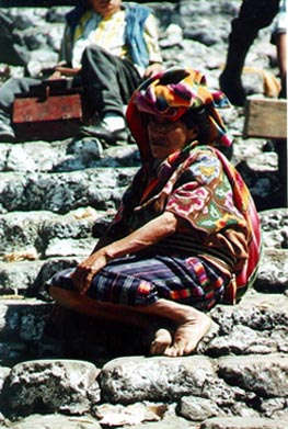
The Church of Santo Tomas, in Chichicastenango,
was built around 1540. 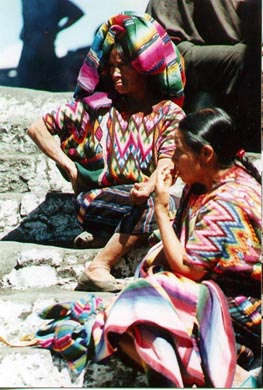
These women, dressed in
traditional clothing, sit on the steps leading to the church, where
incense is burned to honor the guardian spirits of the church. An
interesting combination of old Mayan traditions, and relatively new
Catholicism, is evident here.
To return to the
Start of our Journey, click: 
To Return to Homepage:Mi Hija
Dasha
| |